Abruzzo, Lazio and Molise national park
The area
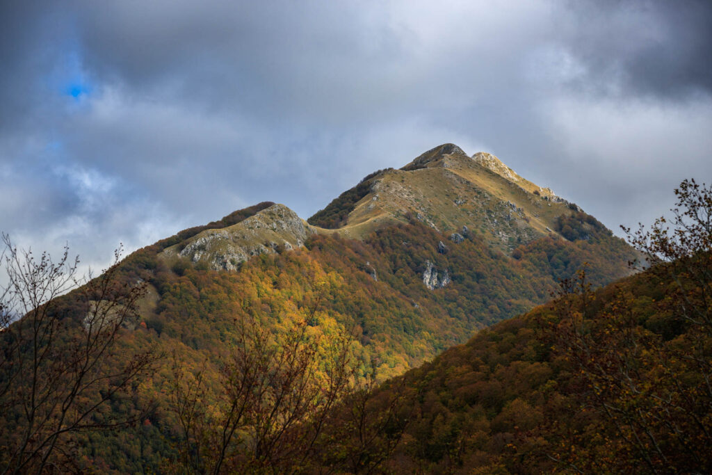
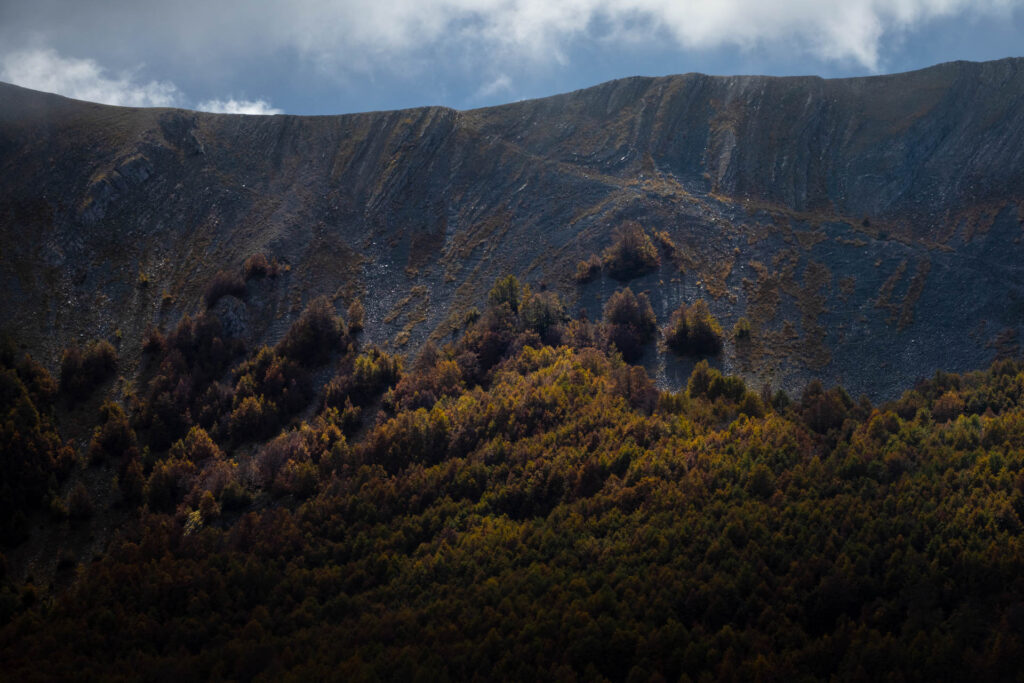
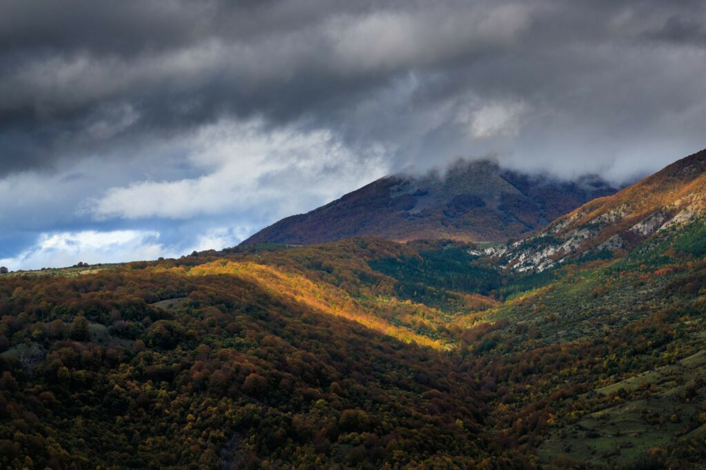
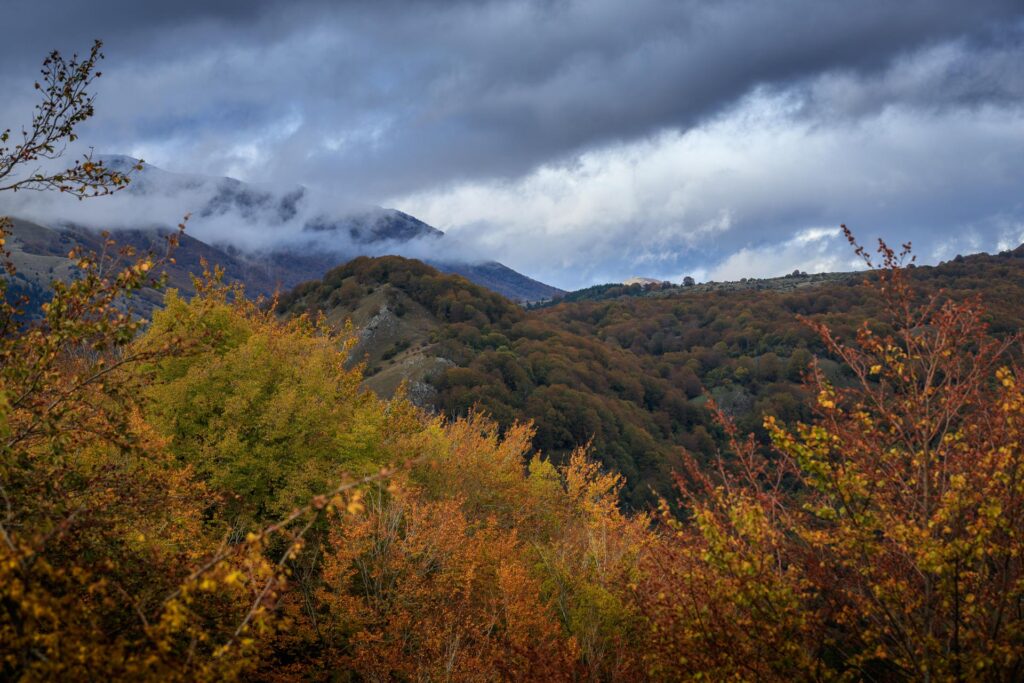
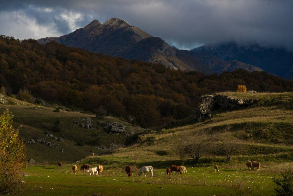
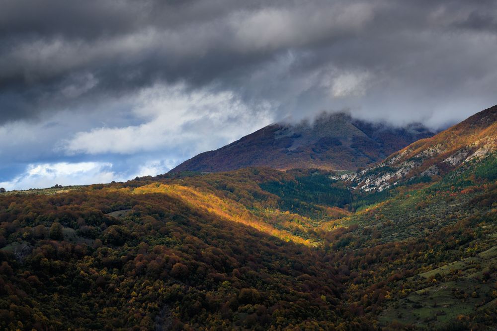
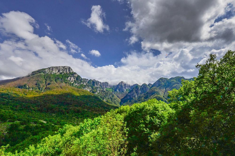
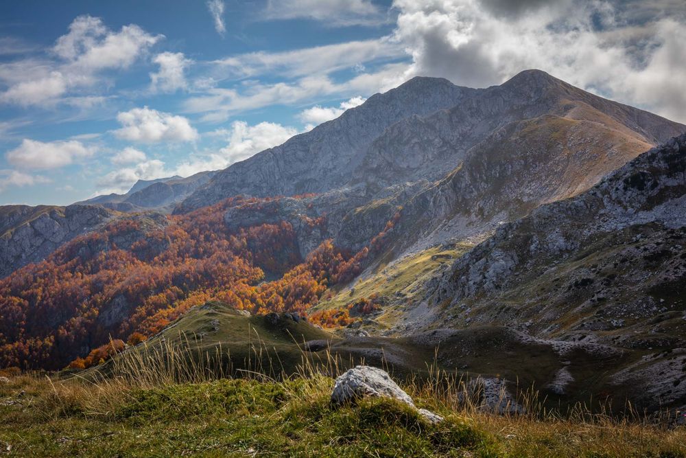
Abruzzo, Lazio and Molise National Park covers an area of about 50,000 hectares in the Central Apennines, where the three Regions after which it is named meet. In the north, some imposing mountain ridges of the Apennine chain (Monte Cornacchia, Monte Serrone, Serra del Re, Serra delle Gravare and Montagna Grande, Monte Marsicano) rise from the ancient basin of Fucino. By Camosciara, these mountains seem to blend into one another and form one mountain range which, after reaching its highest point in Monte Petroso (2,249 m), stretches out towards south-east and ends with the Mainarde, creating a varied, structured, and complex mountain system – with buttresses and incised valleys or small flat basin floors of glacial origin or shaped by the River Sangro and its tributaries.
The rocks forming the mountains of Abruzzo, Lazio and Molise National Park mainly consist of the sediments deposited in a portion of the Tethys Ocean which during the Mesozoic Era separated the Eurasian continent from the African continent. This vast sea collected the sediments originating from the breaking up of the continents and the carbonate deposits produced by the biological activity.
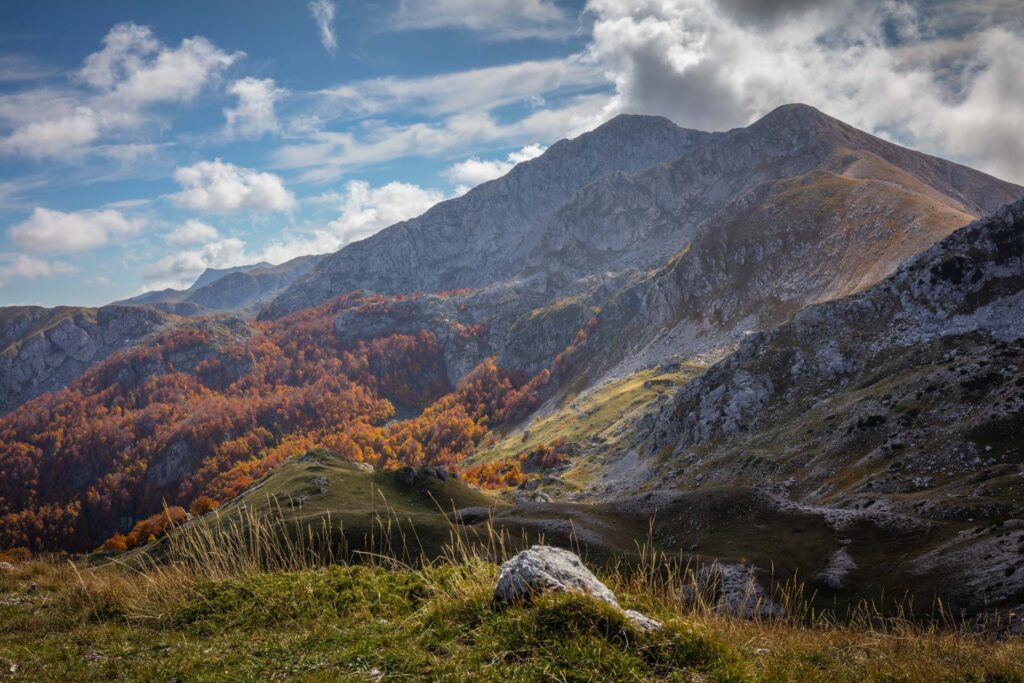
Transformation processes of the sediments into rocks, as well as plate motions, erosion, glaciation and karst phenomena due to the carbonate nature of the rocks have shaped these mountains, where rounded and gentle slopes alternate with imposing subvertical faces.
The natural amphitheater of Camosciara stands out in its majesty: here, carbonate rocks surface together with dolomite rocks, which definitely give to this spot of the Apennines an “alpine” look.
Already established in 1921 following a private initiative, the protected area initially included only 100 hectares on the highest summits of Camosciara. It was then officially recognized by the Italian law in 1923 with the name of Abruzzo National Park, and then in 2001 with the current name, also as a result of its extension to the mountain range representing the watershed between Lazio and Molise. Today, its approximately 50,000 hectares are surrounded by a buffer zone of over 70,000 hectares with more or less the same limitations on hunting.
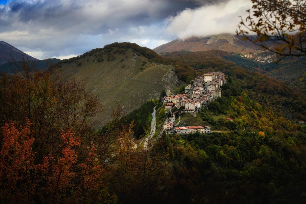
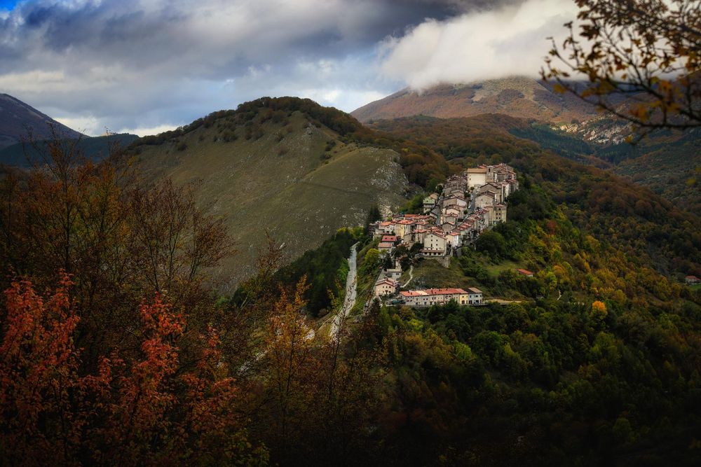
People live in the Park: hamlets and small towns of medieval origin, but also very recent ones – post-earthquake settlements or tourist facilities – are scattered across the valleys and the mountain ridges, both within the protected area and, more often, along its borders, in the outer green belt or Adjoining Area.
The leading economic sector in the central area of the Park (Alto Sangro) is without a doubt tourism, with more and more attention aimed at combining conservation and development. On the slopes of Lazio and Molise, also thanks to more favorable environmental conditions, it is easy to find remnants of farming and zootechnical activities.
The forest
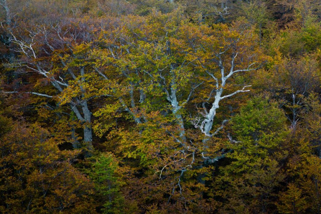
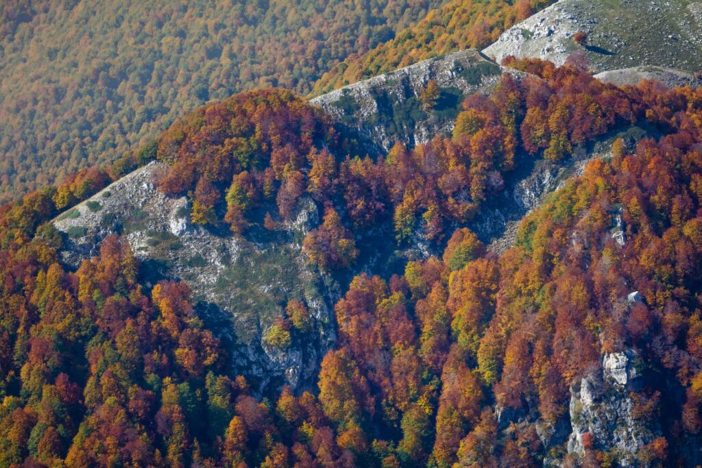
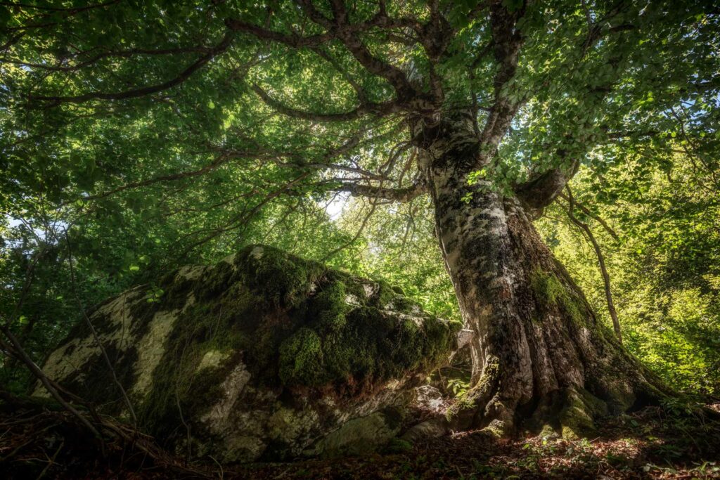
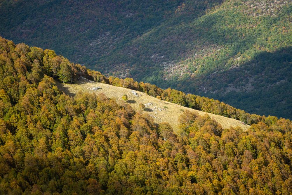
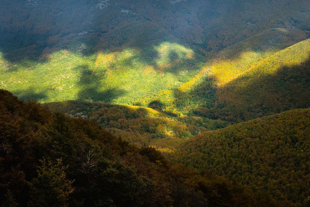
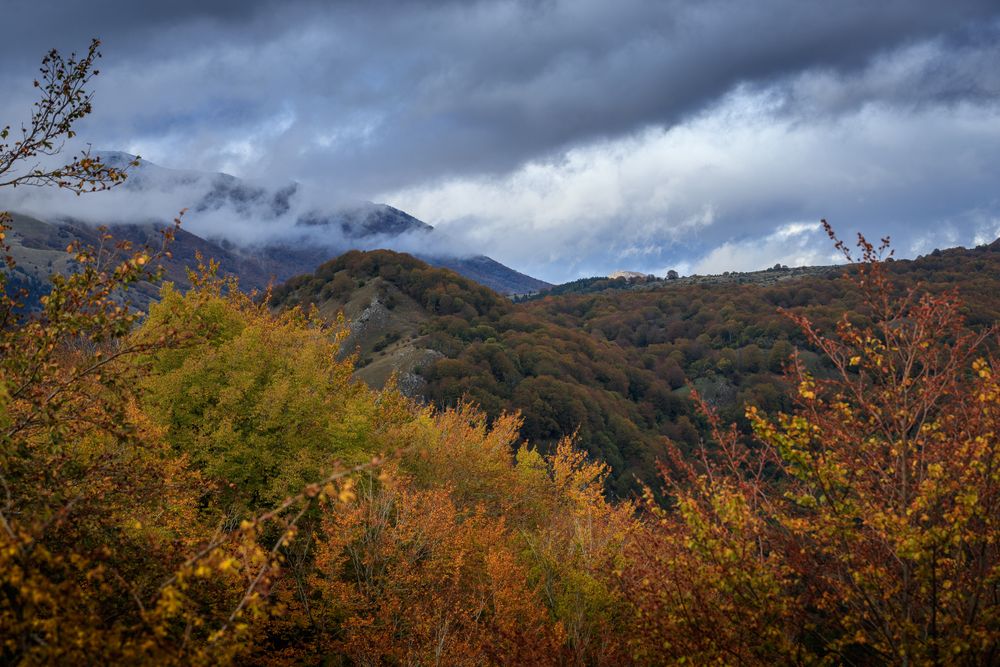
The cluster of the 5 old-growth beech forests of Abruzzo, Lazio and Molise National Park stands out for its unique natural character – a mosaic of structural features representing all stages of the beech forest development cycle – as well as for its geographical position along the main ridge of the Apennines. Protected from intensive exploitation by their remoteness from the valley floor, their orographic features, and the acknowledgment of their protection role, these forests are characterized by a high biodiversity depending on their impressive natural character.
The component part of Val Fondillo is characterized by a dolomite substratum dating from Lower Lias and by the abundance of watercourses which create a very particular environment. Here the beech forest meets the endemic formations of Italian Black Pine and Mountain Pine, sometimes with a Bilberry underbrush. In its lower part, it is dotted with Common Yew and Holly. The buffer area, surrounding all the right bank of the stream Torrente Fondillo (looking downstream) and the area called Camosciara, is enriched by the presence of an endemic flora, unique for the Park territory.
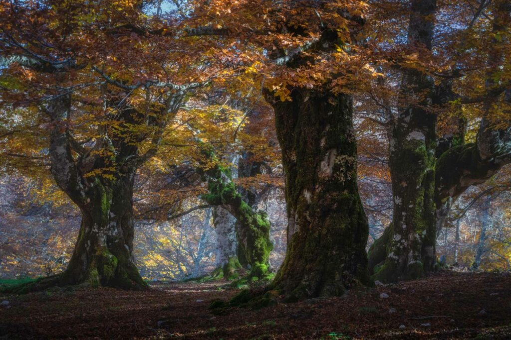
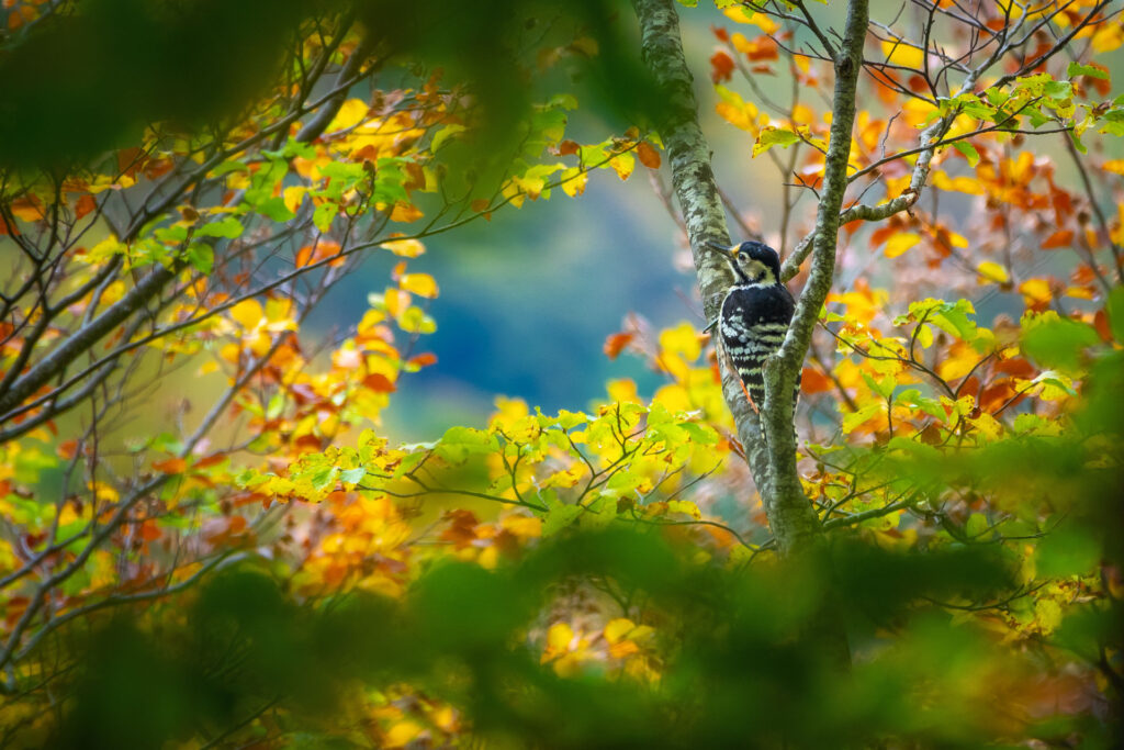
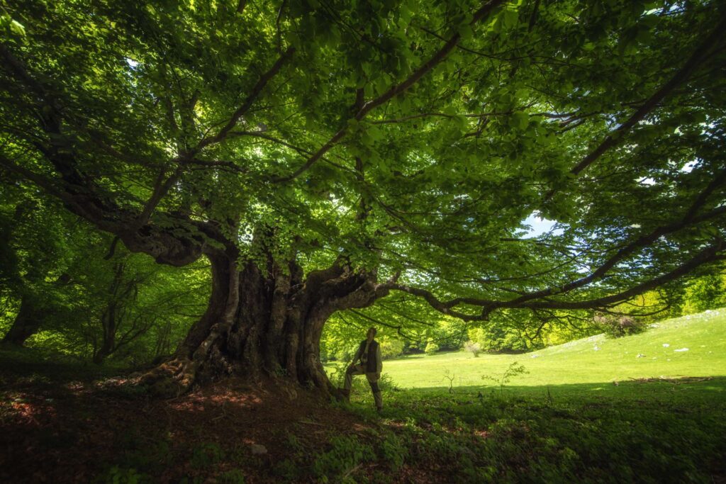
In Coppo del Principe beech forest, the patches of old-growth forest covering the steepest and most rocky ridges alternate with areas characterized by imposing monumental trees standing out from a base of younger trees. In the valley floors, there are signs of an ancient wood pasture with the characteristic “pollarding” management, while above the current woodland edge there are rests of “Bourbon leave trees”. It is one of the most charming areas, not only for the presence of the Marsican Brown Bear, but also for the presence of other species, including the Rosalia Longicorn, the White-backed Woodpecker, the Western Barbastelle, and the Crested Newt, finding ideal habitats for their biological cycles on the imposing aging beech trees.
The beech forest of Moricento develops among mountain ridges and karst sinkholes in the natural amphitheater delimited by the buttresses of Rocca Genovese, Monte Marcolano, and Monte Prato Maiuri. Here, ecological integrity and ecosystem health are witnessed by a forest mosaic including all stages of the structural cycle of the forest, maintained by frequent natural disturbances – mainly wind – of moderate intensity.
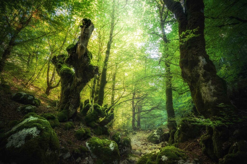
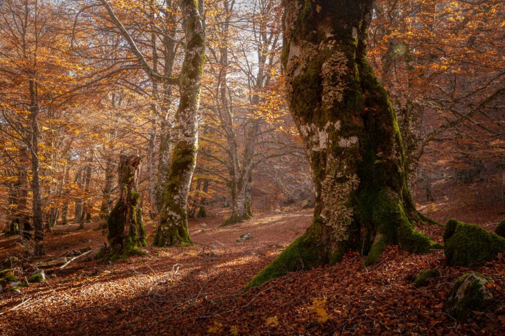
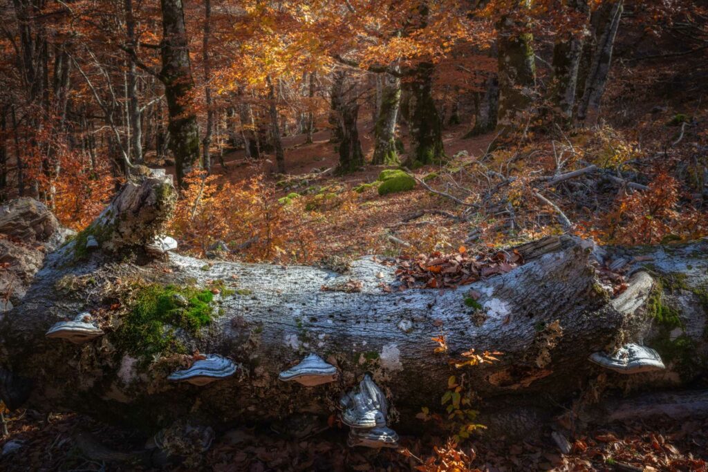
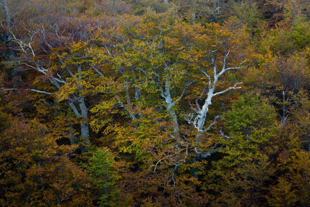
The beech forest of Val Cervara is the only example of primary forest in Italy. Protected from economic interests by its position and the local community, it is home to the oldest beech trees of the northern hemisphere, with over 560-year-old specimens. Here, it is possible to observe the effects of the natural dynamics regulating the forest cycle: avalanche sites periodically interested by snow slides populated by young formations of tangled and twisted beech trees, small rocky ridges where the beech specimens are lined up in a system of mutual protection, young groups of trees taking hold after the death of some specimens, and deadwood everywhere, in all its degenerative stages.
The beech forest of Coppo del Morto, a small-sized and narrow strip of land at the edge of the wood, reveals a unique treasure. Besides competing with Val Cervara for the longevity of some beech trees, this forest hasn’t been touched by man for over one hundred years, thanks to an ancient territorial contestation. Its location, high altitudes, and exposures to the southern quadrants make it a special laboratory for the observation of the effects of climate change on forests.
The biodiversity
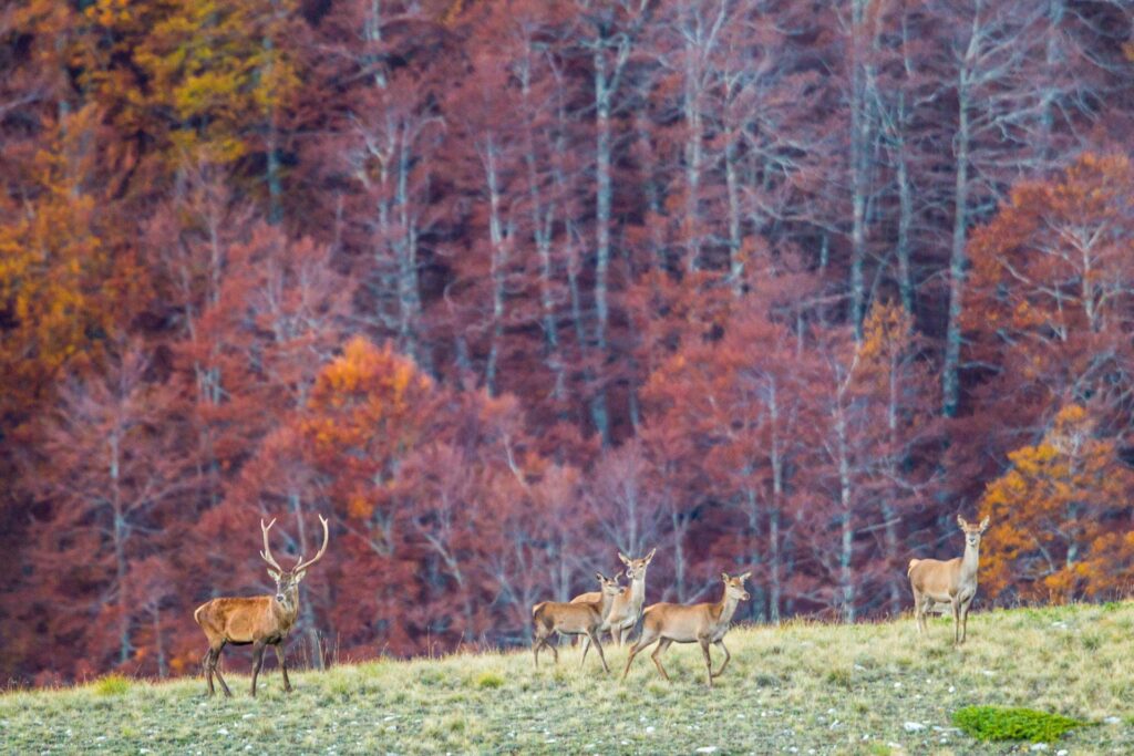
Abruzzo, Lazio and Molise National Park can be defined as a “park of forests” whose abundant wildlife is consistent with the Park habitats.
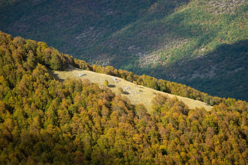
The dominant formation is the beech forest, where the Beech Tree is associated with maples, the Yew, and the Holly. The presence of these species, together with other features, allows to define these forests as habitats of priority community interest.
At the edges of the beech forest or in the vast clearings characterizing it, you can find the Common Laburnum, the Goat Willow, Whitebeams, the Hazel, the Elder, and fruit trees of the Rosaceae family. In some areas of the Park it is still possible to find strips of mixed deciduous forest, sometimes dominated by the Turkey Oak and sometimes characterized by other species, including the Manna Ash, the European Hop-hornbeam, the Downy Oak, the Lime, and the Elm.
Further forest formations of great relevance for their relictual features are represented by the Mediterranean-mountain black pines, both indigenous species – like those at Camosciara – and artificially-introduced species.
At the upper limit of tree vegetation, there are formations of prostrate shrubs, mainly represented by the Dwarf Mountain Pine, the Common Juniper, and the Alpine Buckthorn, and sometimes by the Savin Juniper and the Bilberry.
Endemic species and rare plants like the Lady’s Slipper Orchid, Pinguicula vallis-regiae, and the Ghost Orchid are also present in these beech forests.
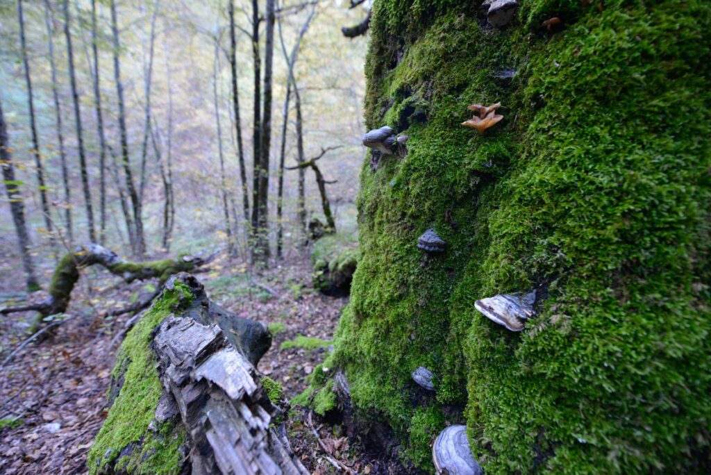
Generally called “inferior” plants, fungi, mosses, lichens, and ferns are important and decisive components of the old-growth beech forests. Besides the edible mushroom species, it is common to find shelf fungi which are responsible, together with others, of the wood marcescence process.
The about 150 species of lichens living in the Park are great indicator species of the maturity of a forest: in particular, Usnea barbata with its long filaments hanging down from the tree branches, and Lobaria pulmonaria, whose leafy thallus often covers large portions of the tree trunks.
In the Park, there are more than 200 bryophyte species, some of which typically grow in cool and little disturbed beech forests: among them, the rare Green Shield Moss (Buxbaumia viridis), growing on the marcescent wood of beech trees, and the Hart’s Tongue.
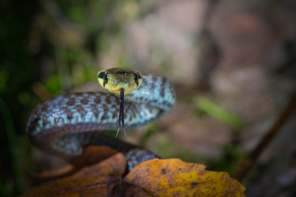
The fauna living in the Park has an extraordinary value, since it includes species which alone could justify the existence of the protected area. In fact, with 67 mammal species, 230 bird species, 14 reptile species, 12 amphibian species, 15 fish species, and 4,764 insect species, including important endemic species, this territory preserves the greatest diversity of wildlife of the Apennines. Here it is possible to find species of great conservation value, some of which are listed in the annexes of the EU Habitats Directive, such as the Apennine Chamois, the Marsican Brown Bear, and the Wolf. Besides, 10 carnivore species mainly associated with the forest environment live in the area: along with the bear and the wolf we have just mentioned, there are the European Wild Cat, the Pine Marten, and the Eurasian Badger.
The registered species of bats are 25, most of which find their ideal habitat in the old-growth forests of the Park. Among them, the Western Barbastelle and the Bechstein’s Myotis.
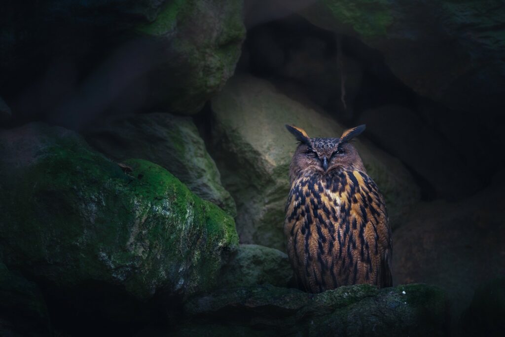
For the avifauna, the place of honor goes to the Golden Eagle, together with other diurnal or nocturnal birds of prey. However, woodpeckers are without a doubt the most interesting birds of these beech forests: among them, the White-backed Woodpecker, living only in a few areas of the Central-Southern Apennines.
Abruzzo, Lazio and Molise National Park was the first national park in Europe to regulate, control, and develop entomological research and collection: Rosalia alpina is undoubtedly an indicator of the environmental quality of the forests where it lives, sometimes together with other beetles populating forests which contain a large amount of deadwood.
Getting here
Located in the heart of the Central Apennines, the same distance away from the two big urban areas of Rome and Naples, on the whole, the Park is easily accessible by car thanks to the highway system in the north of the area (highways A24-A25 Rome L’Aquila-Pescara, exits Avezzano, Aielli-Celano, Pescina, Cocullo) and in the west (highway A1 Rome-Naples, exits Caianello, Cassino, Ferentino), following the axes of the Roman road system (Via Tiburtina and Via Latina).
The road system – regional (SR) and provincial roads (SP) – is represented by:
Road SR 83 Marsicana: connecting Tiburtina Valeria to Appulo Sannitica (now road SS 17). The road runs parallel to the River Sangro, in the core of the Park.
Road SP 17 of the National Park: originating from and reconnecting to road SR 83, across Valle del Giovenco.
Road SP 419 Sannite: in the north-east of the Park territory, connecting Alto Sangro to Conca di Sulmona.
Road SP 19 Ultrafucense: leading to Vallelonga from the highway exit of Avezzano.
Road SR 509 Forca d’Acero: connecting the slope of the Park in Abruzzo to the slope of the Park in Lazio.
Road SR 158 Valle del Volturno: connecting Abruzzo to Molise (with road SR 652) and to Campania (road SR 17).
In addition, the Park is accessible by train (stop Avezzano along the railway line Rome-Pescara and stop Castel di Sangro along the railway line Naples-Pescara, both served by TUA bus company) and by bus with the following bus lines: Avezzano-Castel di Sangro (TUA), Avezzano-Villavallelonga (TUA), Castel di Sangro-Avezzano (TUA), Pescara-Naples (SATAM and TUA), FlixBus and the Parks Bus-Sangritana leaving from Rome.
For information:
Train timetable: www.trenitalia.it
Bus service TUA – Trasporto Unico Abruzzese: www.tuabruzzo.it
Bus service FlixBus: www.flixbus.it
Bus service SATAM: www.gruppolapanoramica.it
The Parks Bus – Sangritana: www.sangritana.it
The trails
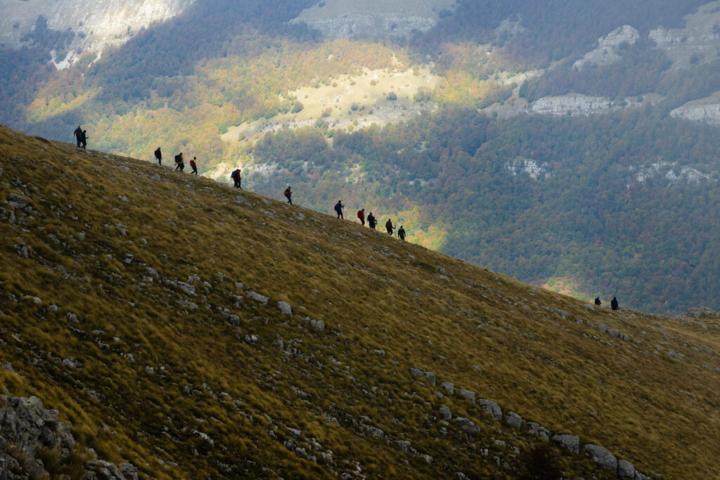
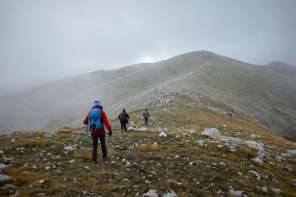
Abruzzo, Lazio and Molise National Park offers an extensive network of hiking trails (about 150) leading across the Park and covering a total distance of over 750 km. Each trail – identified by a letter of the alphabet and a number – is marked in the outdoors with international signs or markings (red/white/red flag).
The trail network is available on the new trail map of Abruzzo, Lazio and Molise National Park, as well as on smartphone and tablet with the “PDF Map” application, allowing you to track your current location, save GPS tracks, create place markers, and find locations.
Hiking is possible everywhere along the existing trails. However, it is advisable to contact the Park Headquarters to ask for information about potential restrictions regarding some trails.
Some hiking trails cross the old-growth beech forests, while others only touch them lightly.
Below, you will find some trails for each of the 5 beech forests of the Park, beginning and ending in a place accessible by car. You can also decide to do the trails the other way round, or only in part. Or you can combine different trails, according to your own needs.
There are neither shuttle buses nor a functional public transport service. That’s why to complete a route you need to plan it well, or in some cases you will have to go back along the same trail.
1. Val Cervara
The oldest beech forest in Europe
- Main trail: R5
- Trailhead: Passo del Diavolo (1,400 m AMSL)
- Distance: 5 km to Fonte Puzza + 7 km to Madonna della Lanna
- Uphill: 330 m (Fonte Puzza – 1,730 m AMSL)
- Downhill: 560 m (Fonte Prati d’Angro – 1,170 m AMSL)
- Estimated hiking time: 2 hours to Fonte Puzza + 3 hours to Madonna della Lanna
- Difficulty level: E – For hikers
The oldest beech forest in Europe can be visited by taking trail R5 connecting the valley of Alto Sangro (Passo del Diavolo) to Vallelonga and running along the wild and deep narrow valley of Lampazzo; then, once in Fonte Puzza, it climbs down into the forest of Val Cervara and emerges further on into the plateaus of Prati d’Angro. From here, it continues along trail B1 for about 3 km to locality Madonna della Lanna.
An easy trail with limited elevation which, after just over one kilometer of dirt track (T1), enters the old-growth forest where, besides all the structural forms of the woodland, you might come across its most interesting inhabitants, such as the bear, the wolf, and the deer.
Slightly more challenging if you do it the other way round, this trail is not to be missed if you really want to understand an old-growth beech forest.
2. Selva Moricento
A true wilderness among mountain ridges and karst sinkholes
- Main trail: R4
- Trailhead: Passo del Diavolo (1,400 m AMSL)
- Distance: 11 km (7 km to Valico Marcolano + 4 km to Madonna della Lanna)
- Uphill: 500 m (Valico Marcolano – 1,900 m AMSL)
- Downhill: 790 m (Madonna della Lanna – 1,110 m AMSL)
- Estimated hiking time: 5 hours (2.5 hours to Valico Marcolano + 2.5 hours to Prati d’Angro)
- Difficulty level: EE – For experienced hikers
Moricento forest is crossed by a trail network consisting of ancient carriage roads all converging in locality Cicerana (Municipality of Lecce dei Marsi), connected to one another and easily accessible.
Without a doubt, the most fascinating trail (R4) begins in Passo del Diavolo and, after about 1.5 km (T1) of dirt road, leads to locality “stazzo di Fossa Perrone” entering more and more the old-growth forest up to the clearing of Campo Secco. From here, it continues to the Marcolano Pass, a wonderful viewpoint over the whole Moricento forest, the forest of Val Cervara, and Prati d’Angro. The same trail goes down to Prati d’Angro and leads to locality Madonna della Lanna.
If you decide to do it the other way round, the trail requires a higher fitness level because of the greater elevation.
3. Coppo del Principe
A beech forest where nature and history meet
- Main trail: C5
- Trailhead: Pescasseroli (camping La Panoramica – 1,200 m AMSL)
- Distance: 16 km
- Elevation: 630 m (lodge Pesco di Iorio – 1,830 m AMSL)
- Estimated hiking time: 6 hours (2 hours to the lodge Pesco di Iorio)
- Difficulty level: E – For hikers
Even without entering it, Coppo del Principe beech forest can be admired in all its beauty from a loop trail which begins in Pescasseroli (near the ski facilities), reaches the lodge of Pesco di Iorio (trails B1-R7-B4), develops along the ridge Tre Confini – Monte Tranquillo (C5) to the sanctuary with the same name, and from here it goes back to the town along trail C3 and the dirt road (C1).
A level trail, long but not particularly challenging, where you can look down on the forest and admire its structure and dynamics from a privileged point of view.
Grasslands colonized by the alpine buckthorn and populated by the bear, imposing candelabra-shaped trees, and a spectacular sight over the whole Park make it an unforgettable trail combining history, nature, and landscape.
4. Val Fondillo
Discovering the beech forest where it all began
- Main trail: F1
- Trailhead: Segheria Val Fondillo (1,080 m AMSL)
- Distance: 4 km (outward journey)
- Elevation: 720 m (summit of Monte Amaro – 1,860 m AMSL)
- Estimated hiking time: 2 hours (outward journey)
- Difficulty level: E – For hikers
The old-growth beech forest of Val Fondillo (Cacciagrande and Vallone Iancino) represents the original core of the Park, but due to its harsh conditions it is not easy to visit. The best trail to get close to it (F1) is challenging for elevation change, slope, and exposed stretches: it leads to the summit of Monte Amaro (1,885 m), a natural stage offering a 360° view over the protected area. From here, you can also enjoy the view over the ledges of Camosciara covered with black and mountain pines and over the underlying forest of Cacciagrande, where you will have the chance to sight small herds of chamois.
You will have to go back necessarily along the same trail.
An alternative for everyone, even if it touches the old-growth beech forest only slightly, is represented by the valley floor trails Val Fondillo – F2 and Camosciara G1-G6, developing in the most representative areas of the Park, and thus not to be missed.
5. Coppo del Morto Beech Forest
A trail across the “disputed woodland”
- Main trail: A3
- Trailhead: Pescasseroli (1,150 m AMSL) or Bisegna (1,210 m AMSL)
- Distance: 10 km (to Valico del Carapale) + 5 km (to Scanno)
- Uphill: 910 m (Valico del Carapale – 2,060 m AMSL)
- Downhill: 1,000 m (Scanno – 1,050 m AMSL)
- Estimated hiking time: 3 hours to Valico del Carapale + 2 hours to Scanno
- Difficulty level: E – For hikers
Located on the southern slope of Serra della Terratta, the old-growth forest of Coppo del Morto is a narrow strip of woodland disputed for a long time between the Municipality of Pescasseroli and the Municipality of Scanno. It is easily accessible by taking a long dirt road (A1) connecting the town of Pescasseroli to Bisegna. Near Valico di Terraegna (1,730 m), trail A3 begins: this trail crosses the whole forest up to Carapale Pass, where you can decide to continue along the same trail towards Scanno, completing one the traditional “crossings” of the Park.
Things to do
Visiting Abruzzo, Lazio and Molise National Park is always an exciting experience. The climate is not too cold, and this makes possible to visit the Park in every season.
No matter which time of year you choose to spend your holidays in the Park, you will need mountain equipment for medium and high altitudes, as well as camera, binoculars, a map of the protected area, and a pair of shoes for long walks. The Park does not charge entrance fees and access is free, as long as the rules of behavior are respected. In the old-growth beech forests, these rules can be more restrictive: the fragility of the five old-growth beech forests of the Park requires a responsible and respectful behavior.
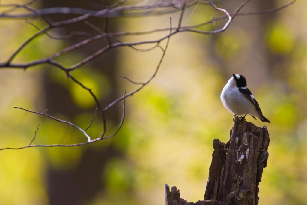
The best season for a visit is spring, when you can experience the reawakening of nature. The beech forest sheds its winter coat: among the sunlit underbrush, the herbaceous species take advantage of the blooming to develop their own life cycles before the trees start to fill with leaves, from the lower to the upper branches, from the center of the forest to its edges, in a consolidated timeline. Especially in the less disturbed beech forests, it is easy to observe how the trees which grow leaves before the others almost feel the air, a behavior that – except for late frost – allows them to be more successful in the evolution process.
It’s a time of blossoms, of cries and calls of the animals resuming their activities and, thus, it is the ideal period for hiking.
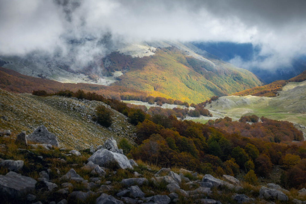
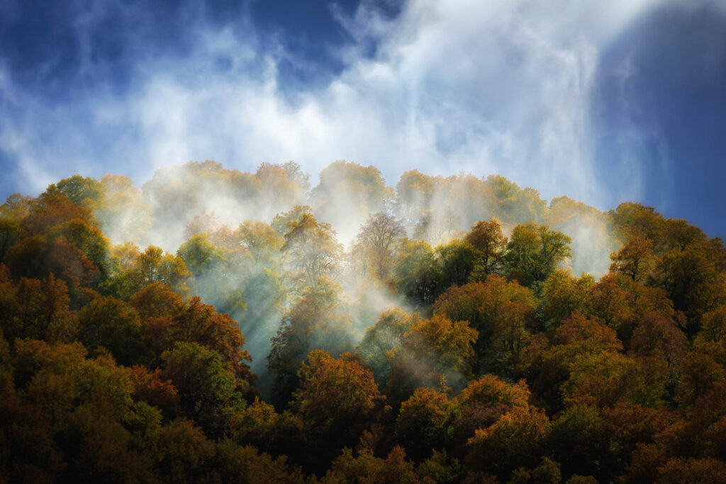
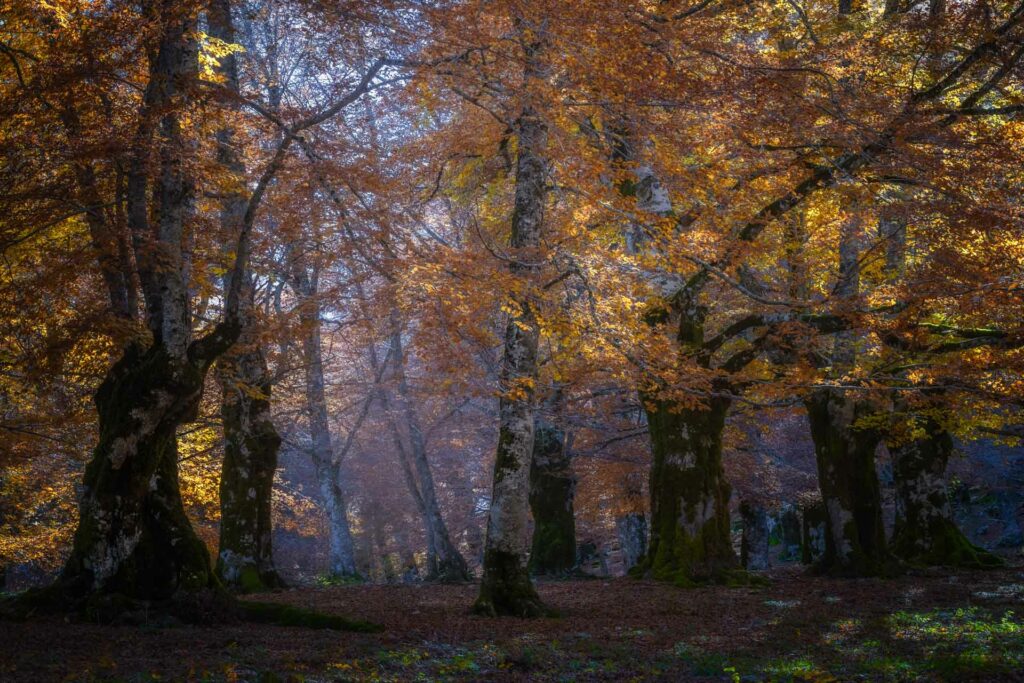
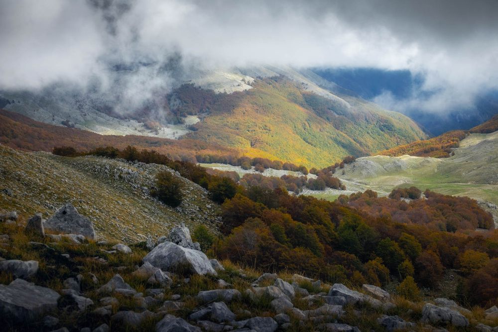
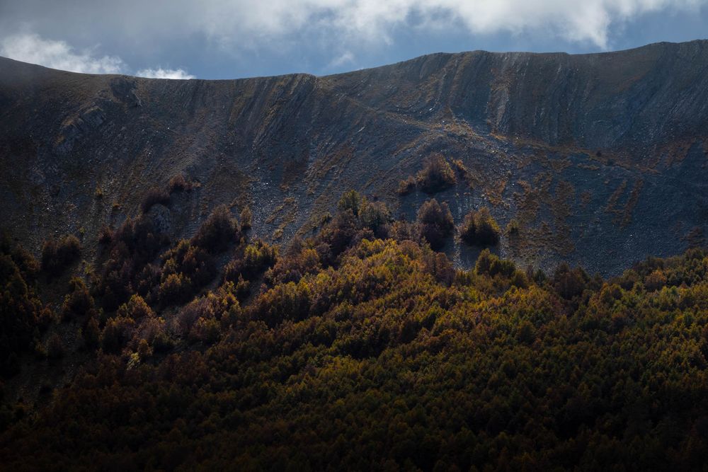
Autumn is not less interesting. Under the tepid sun, this season offers a palette of bright and warm colors and a varied choice of berries, fleshy fruits, and dry fruits appreciated not only by the animals.
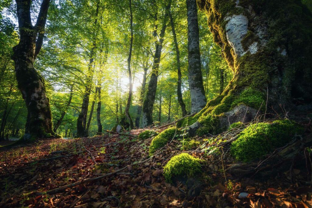
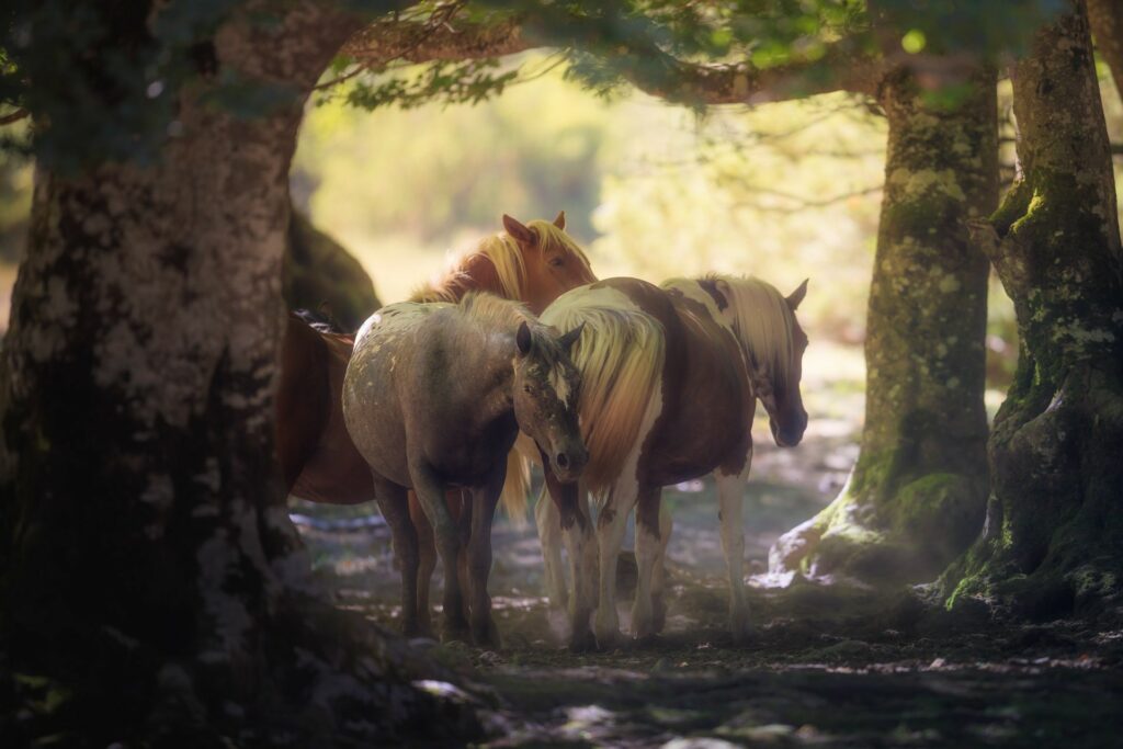
During the summer, the beech forests – and the mountains in general – fulfill their recreational function. The shade of the big tree crowns, the rustling of the leaves, and the scents of the underbrush regenerate bodies and minds which are used to the rhythms and the noises of the city. Summer is also the ideal time of year to practice various sports activities. Besides more or less challenging traditional hikes, you can get in touch with nature with horseback rides, by bike, or swimming in the park lakes, and in many other ways.
Nature, but not only: in the villages of the Park, you can also immerse yourself into history and the traditions of the local communities thanks to several cultural and sports events, festivals dedicated to wine and gastronomy, small museums, and wildlife areas.
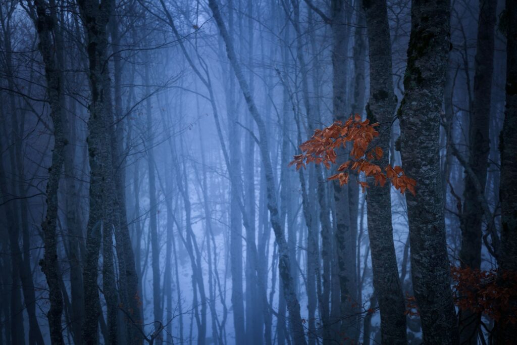
Without a doubt, winter is the most “difficult” season. In the beech forest, the trees have lost their leaves, and the ice draws intricate works among the branches of the trees, while the snow muffles all sounds. The animals have migrated elsewhere, they might be in hibernation, or find in the beech forest an extreme shelter.
However, if you overcome the very first shiver and decide to move around the winter landscape with the skis or on foot, you will discover a magical place offering unique emotions.

